Geodesy
Geodesy
Geocentric and Geodetic Latitude
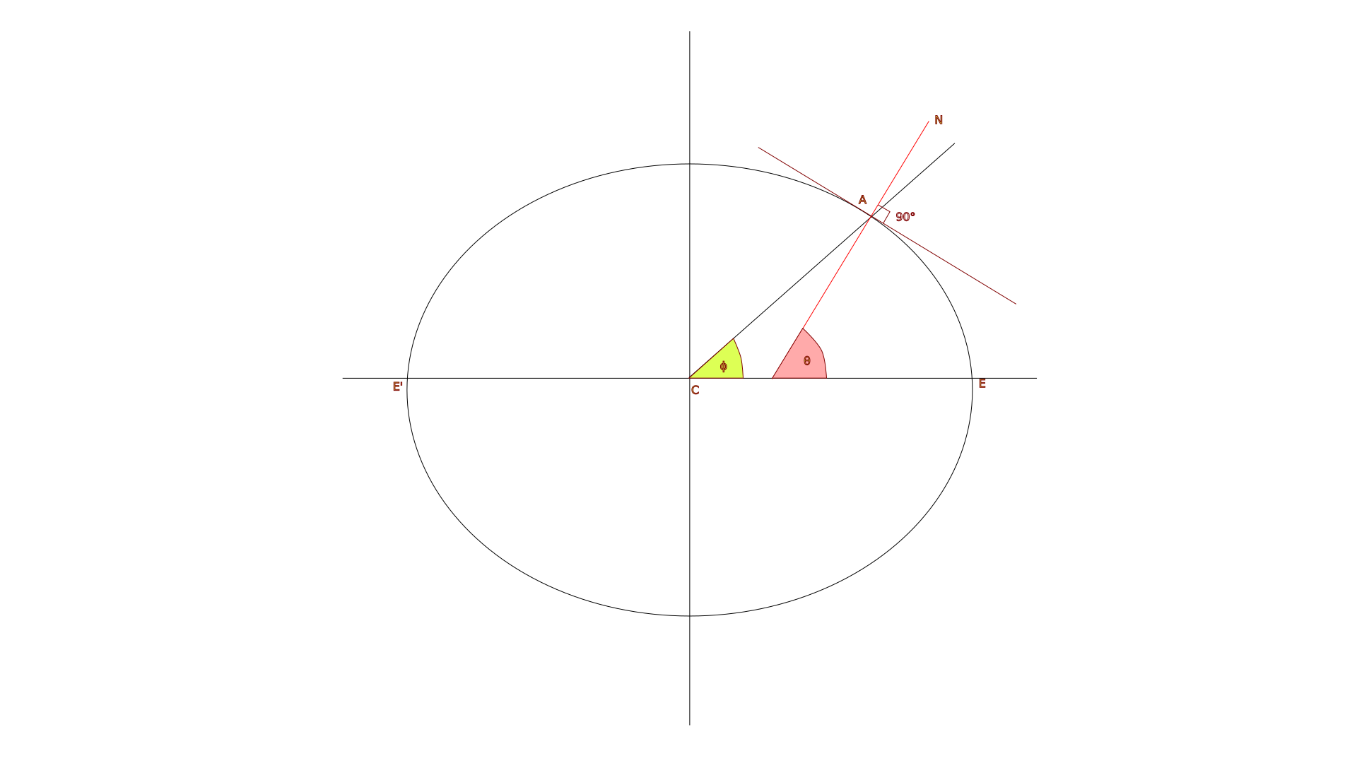
Knowing a as semi-major axis and b as semi minor axis
the function of an ellipse =
At A the Geocentric Latitude is where
Meridional Part
Meridional part is a unit of distance equal to the increased length of a Meridian on a Mercator Chart measured from the Equator to the parallel of Latitude and is expressed as minutes in the longitude scale.
Co Ordinate Systems
1.Heights are measured above sea level (MSL) which is an equipotential surface called Geoid. 2.Topographic maps, markers etc: height above or below mean sea level = orthometric height. 3.Height above or below a reference ellipsoid = ellipsoidal height. 4.Difference between two = geoid height. h = ellipsoid height N = geoid Height H = orthometric height H = h + N